Aerial View
ED2003
from the collection of
Title
North Mankato Aerial PhotoCreation Date
1958Description
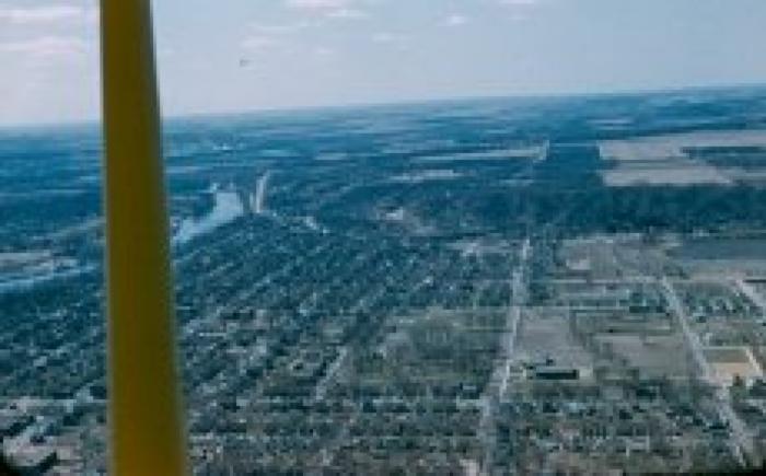
North Mankato Aerial Photo. Color aerial photo of North Mankato. The bluffs on the west side of lower North Mankato are clearly visible. Lookout Drive can be seen just to the right of the Minnesota River. The wide street, running east and west, just to the right of the center of the slide, is Garfield Avenue.Note the divided half-circle sidewalk or driveway at Garfield School. The Tanley Field Ballpark is visible beyond the school, slightly to the north and west.
Tanley Field was at the intersection of Center Street and Monroe Avenue. This slide is stamped "Apr 58."
Set of Paul Mueller Photos: ED2001-ED2101.