Aerial View
ED2011
from the collection of
Title
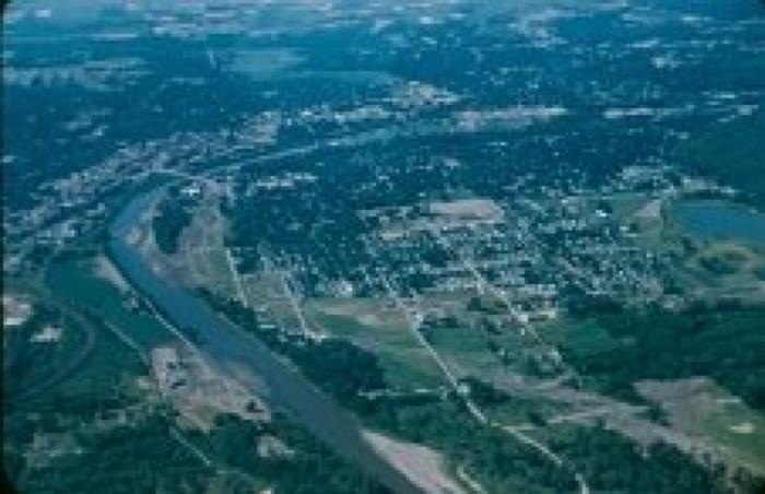
North Mankato Aerial PhotoCreation Date
1959Description
North Mankato Aerial Photo. Color aerial photo of North Mankato. The 1917 Main Street Bridge/Belgrade Avenue Bridge is clearly shown in the upper left. Spring Lake is at the extreme right. Range Street runs northward toward the bottom of the slide. Webster Avenue heads to the west from Range Street near the bottom of the slide, and the Minnesota River is at the far left. This photo was taken prior to the construction of the four-lane version of Highway 169 in North Mankato. This slide is stamped "Aug 59."Set of Paul Mueller Photos: ED2001-ED2101.